What to expect
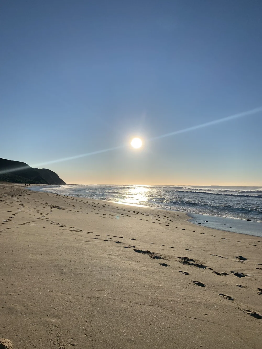
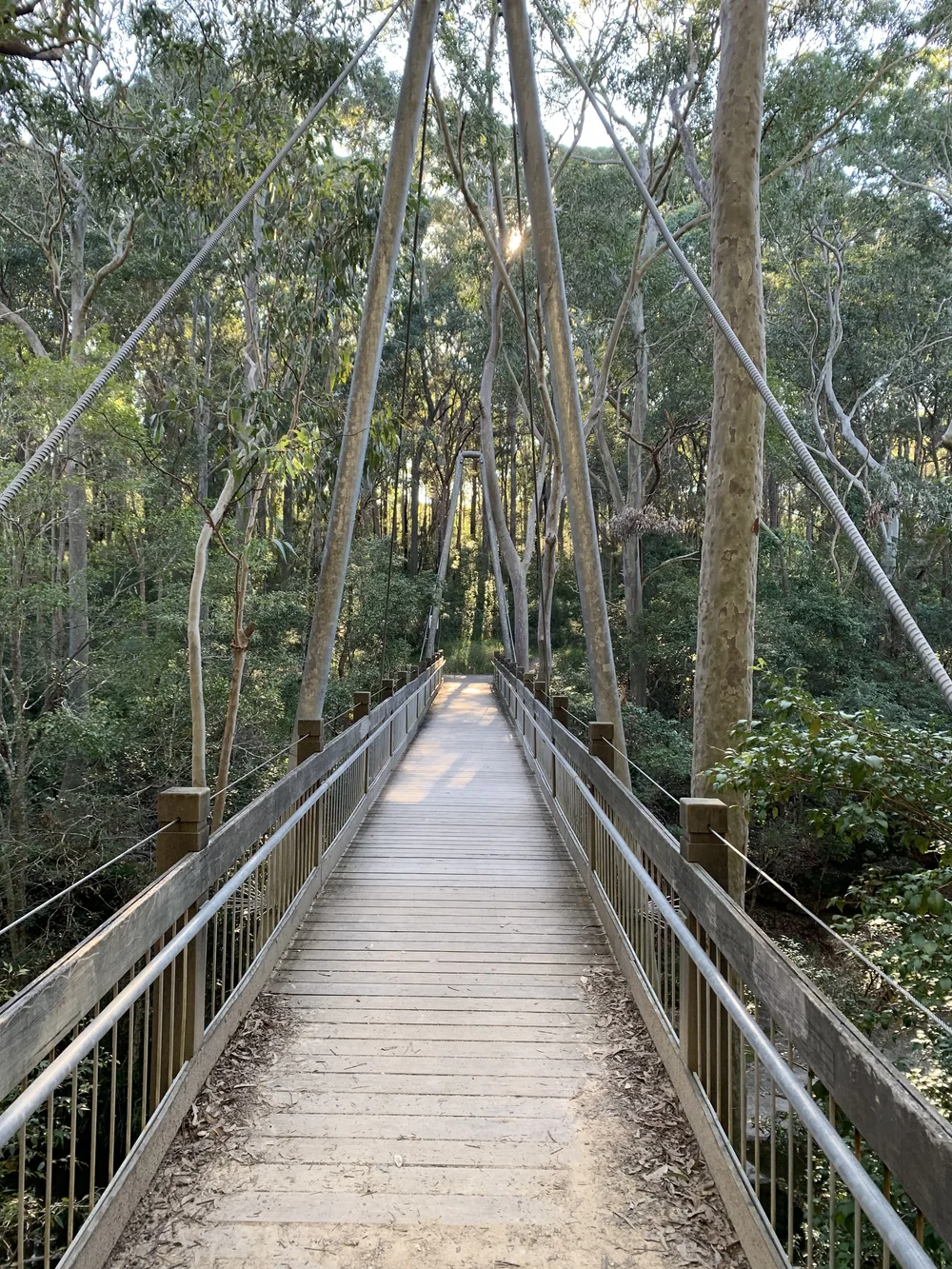
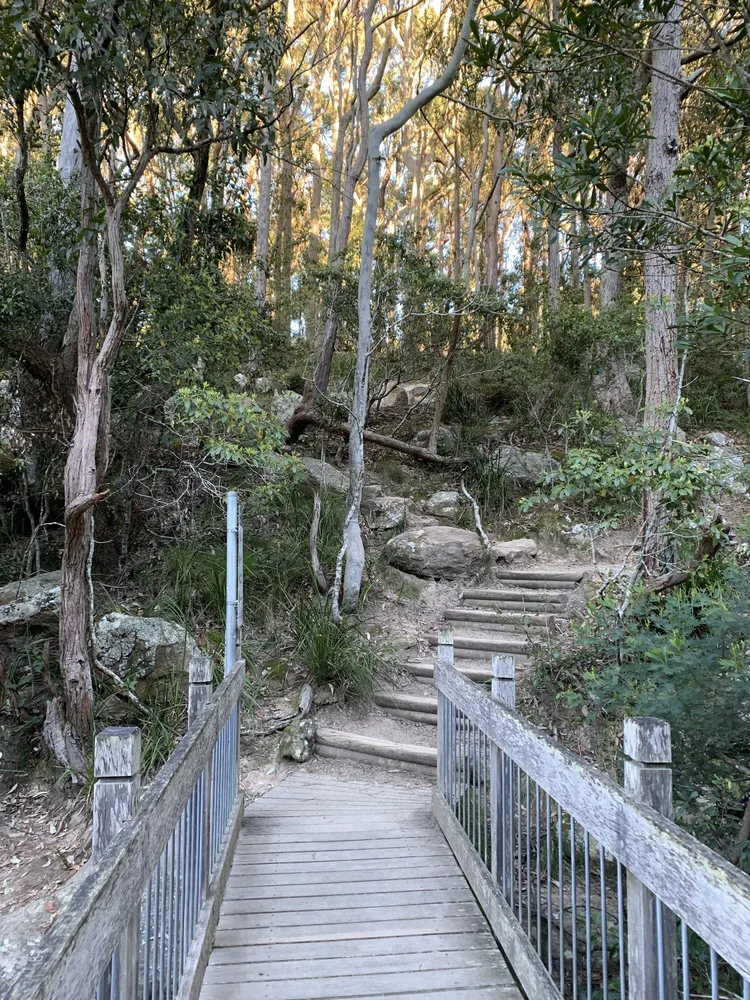
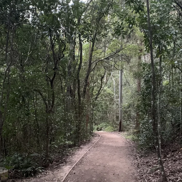
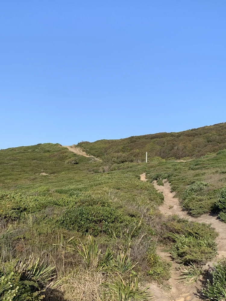
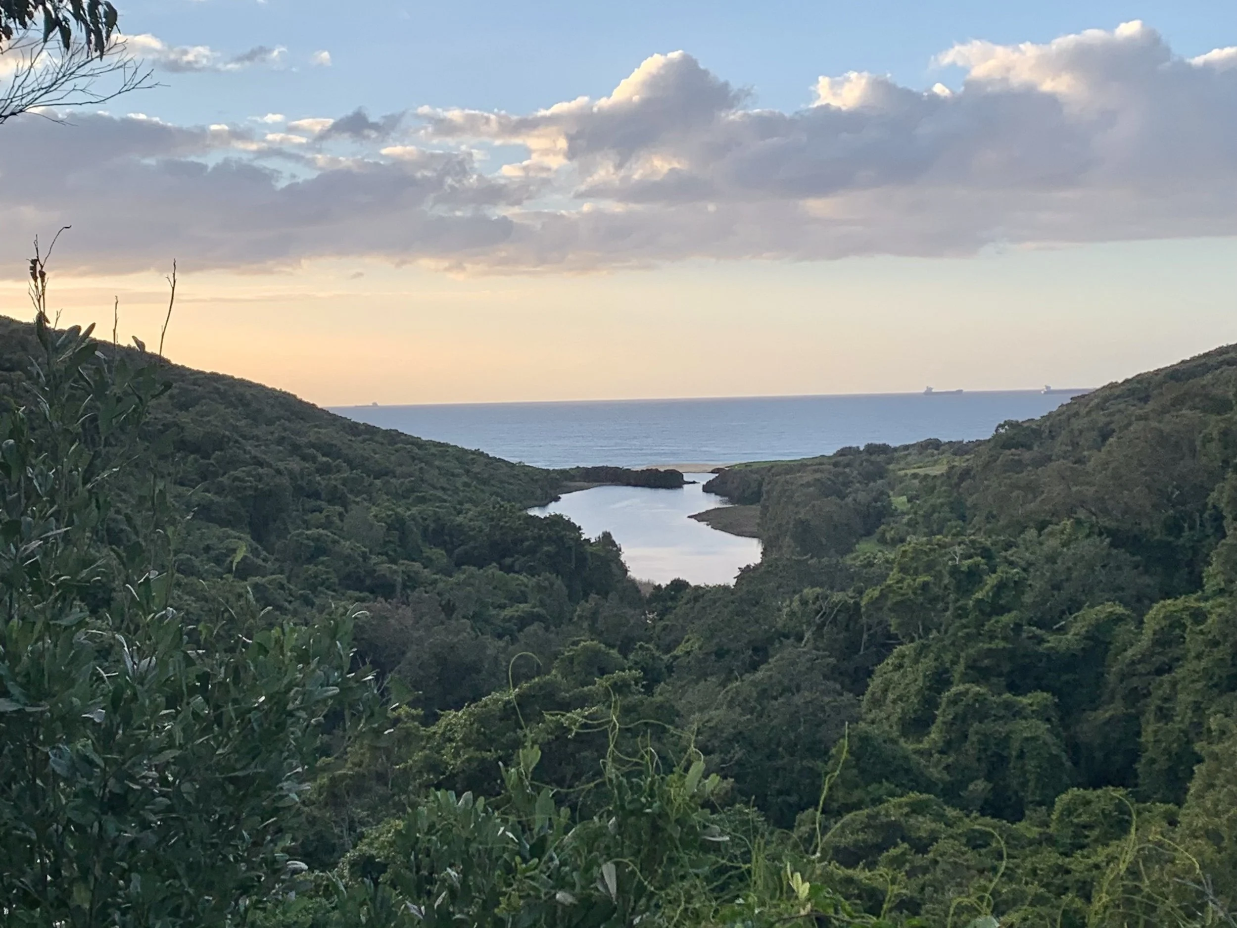
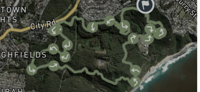
A choose-your-own circuit on the Glenrock singletrack. You drop off the rim through gum forest to the coast, run a stretch above the beach, then climb back up through the gullies. The network is a web of intersecting tracks, so a GPX is worth having. Shared with mountain bikes throughout, so give way and listen for them on the descents.
Getting there
Start from the Burwood Road or Yuelarbah trailheads off Scenic Drive, Merewether, about 10 minutes from Newcastle. Free parking at both. The 13 bus from town stops near Kahibah, a short jog from the western entry.
Conditions
Best in the cooler months, and in the morning before the bikes are out. The gullies hold water and turn greasy for a day or two after rain, and the beach section depends on the tide, so check it before you commit to the low line. Carry water, there are no taps on the loop.
From the trail